Western route
19 km · 1,700 m gain · Moderate
The classic hiking route from Kebnekaise Mountain Station. No climbing required, but a long, demanding day with snowfields even in summer.
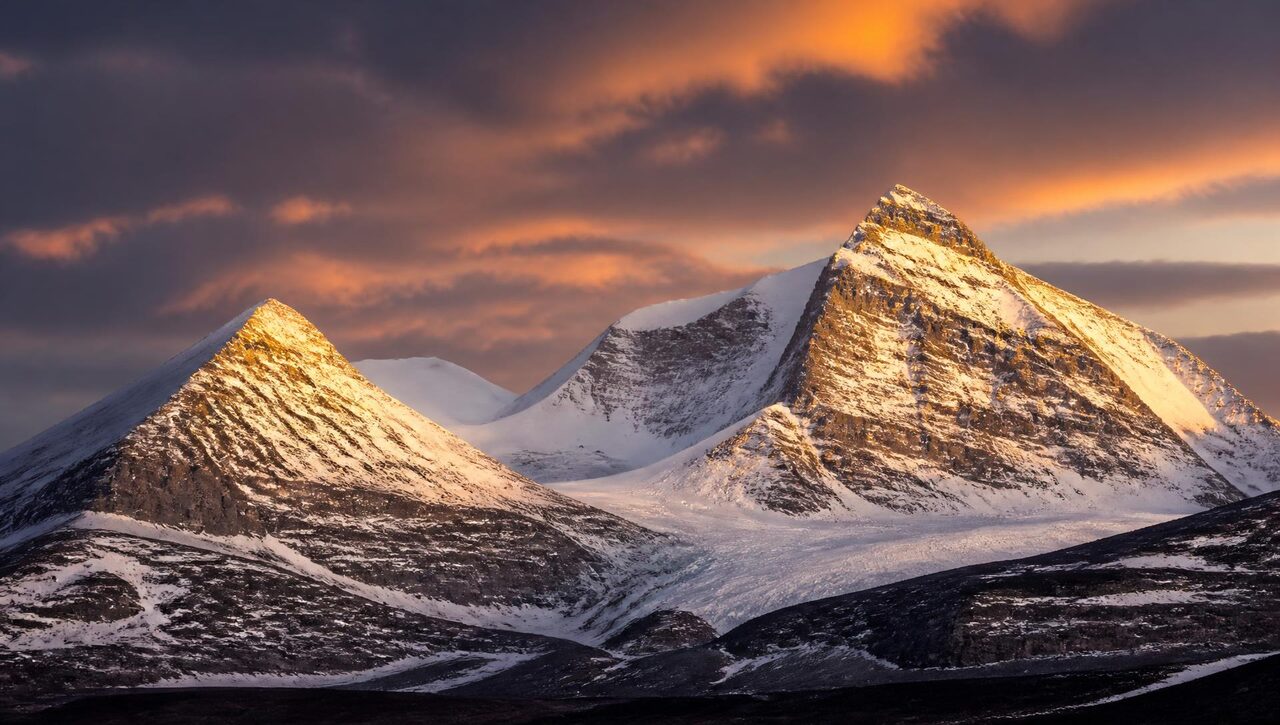
2,096 metres above sea level
Your complete guide to Sweden's highest mountain – routes, gear, lodging and safety in the Lapland highlands.
About the author
My name is Jacob. I climb Kebnekaise whenever I can, and I bring a camera with me every time. When I am not on the mountain I work as a film photographer and videographer in Stockholm, shooting outdoor stories, brand films and adventure content.
2,096 m
South peak
2,097 m
North peak
19 km
Western route
12–15 h
Round trip
The routes
19 km · 1,700 m gain · Moderate
The classic hiking route from Kebnekaise Mountain Station. No climbing required, but a long, demanding day with snowfields even in summer.
12 km · 1,800 m gain · Hard
Shorter but far steeper, crossing the Björling glacier followed by an exposed scramble. Requires a guide, rope and glacier experience.
March–May · Expert
A ski ascent in arctic light and cold. Demands avalanche skills, harness, ice axe and constant weather awareness.
Plan
Summer season runs late June to mid September. Winter ski ascents: March through May.
Fly or take the train to Kiruna, bus to Nikkaluokta, then a 19 km hike or the boat across Ladtjojaure.
Sturdy boots, shell layers, spare insulation, a full day of food, map and compass, strong sun and wind protection.
Weather turns fast. Check the mountain forecast, leave a trip plan and turn back early if visibility drops.
Lodging
Base camp for most ascents. Cabins, sauna, restaurant and guided climbs.
Sweden's right of public access applies – pitch at least 150 m from the station and leave no trace.
An STF hut on the Kungsleden trail, a good option for longer trips heading north.
FAQ